Adopt-a-Lake Water Testing Program
Excess algae growth in Lake Lanier can create water quality issues. At high enough levels it can create problems with drinking water as well as create issues for recreation. Due to these concerns, LLA initiated the Adopt-A-Lake Water Testing Program in 2000 and has the most extensive Chlorophyll A (algae) testing program on Lake Lanier. Volunteers test 25 sites covering Lanier from Dawson County and the Rowing Venue to near Buford Dam. This program has created a year-round baseline understanding of the algae levels in multiple areas around the lake.
This testing program would not be possible without the volunteers who collect the samples and the support of Gwinnett County Water Resources who analyze the samples. We use the chlorophyll a result and the clarity reading of the water (Secchi readings) to create our Lake Lanier Index. The index does not indicate water safety, only the level of algae in the lake.
Since 2000, volunteers have been testing and sampling the waters of Lanier each month. Did you know that this is one of the longest surviving volunteer testing programs on a reservoir this size? Or what about the fact that this is the only program to test every month on Lanier? That’s right, the Adopt-a-Lake program and our dedicated volunteers are pretty amazing.
The Adopt-a-Lake program was initiated in 2000 with the guidance of Georgia Lakes Society. In 2002, the program was expanded with the help of a local lab and then again in 2013, when Gwinnett Water Laboratory offered to begin doing our chlorophyll analysis using the same methodology as the Georgia Environmental Protection Division (EPD).
How does it work?
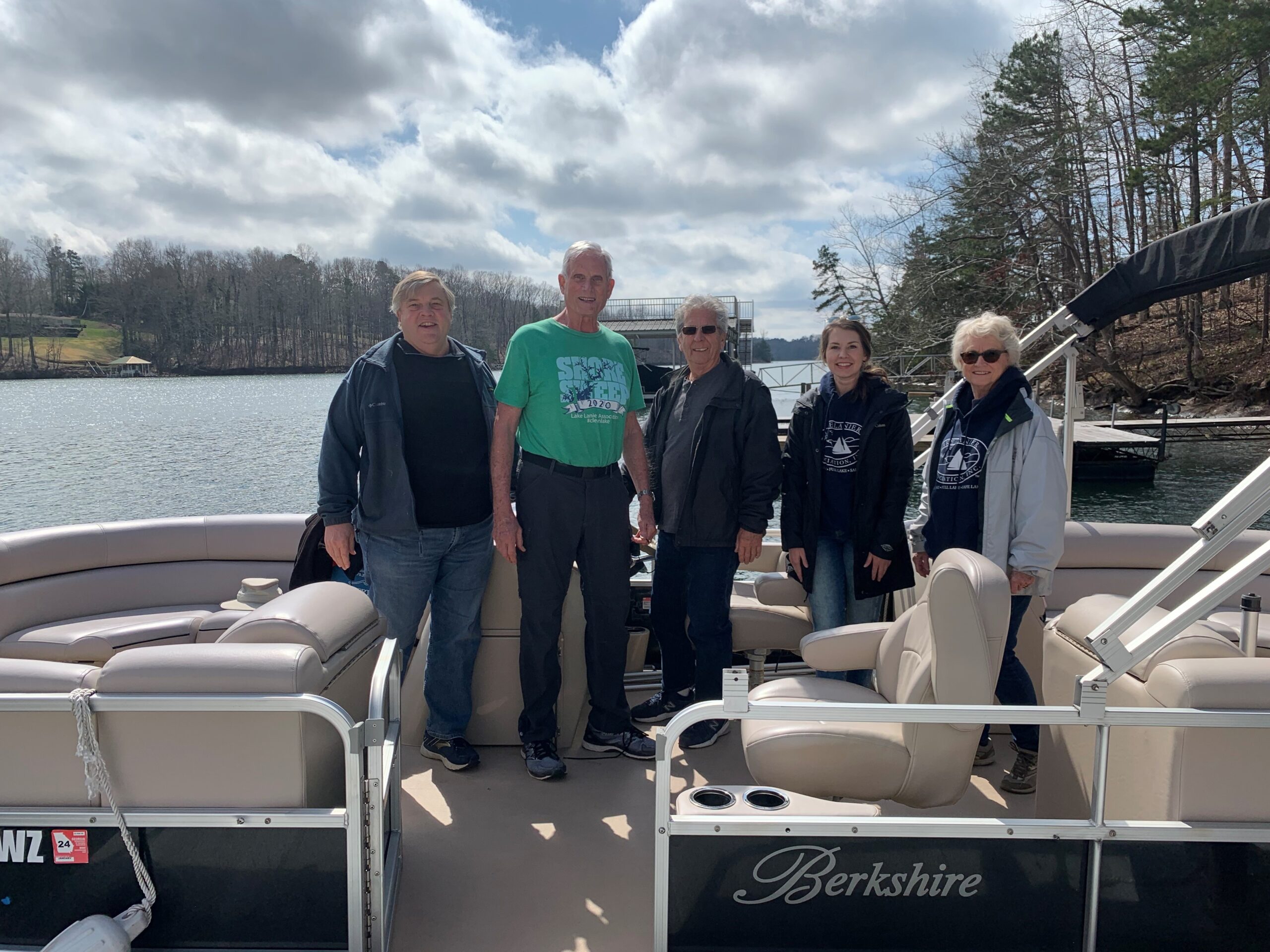
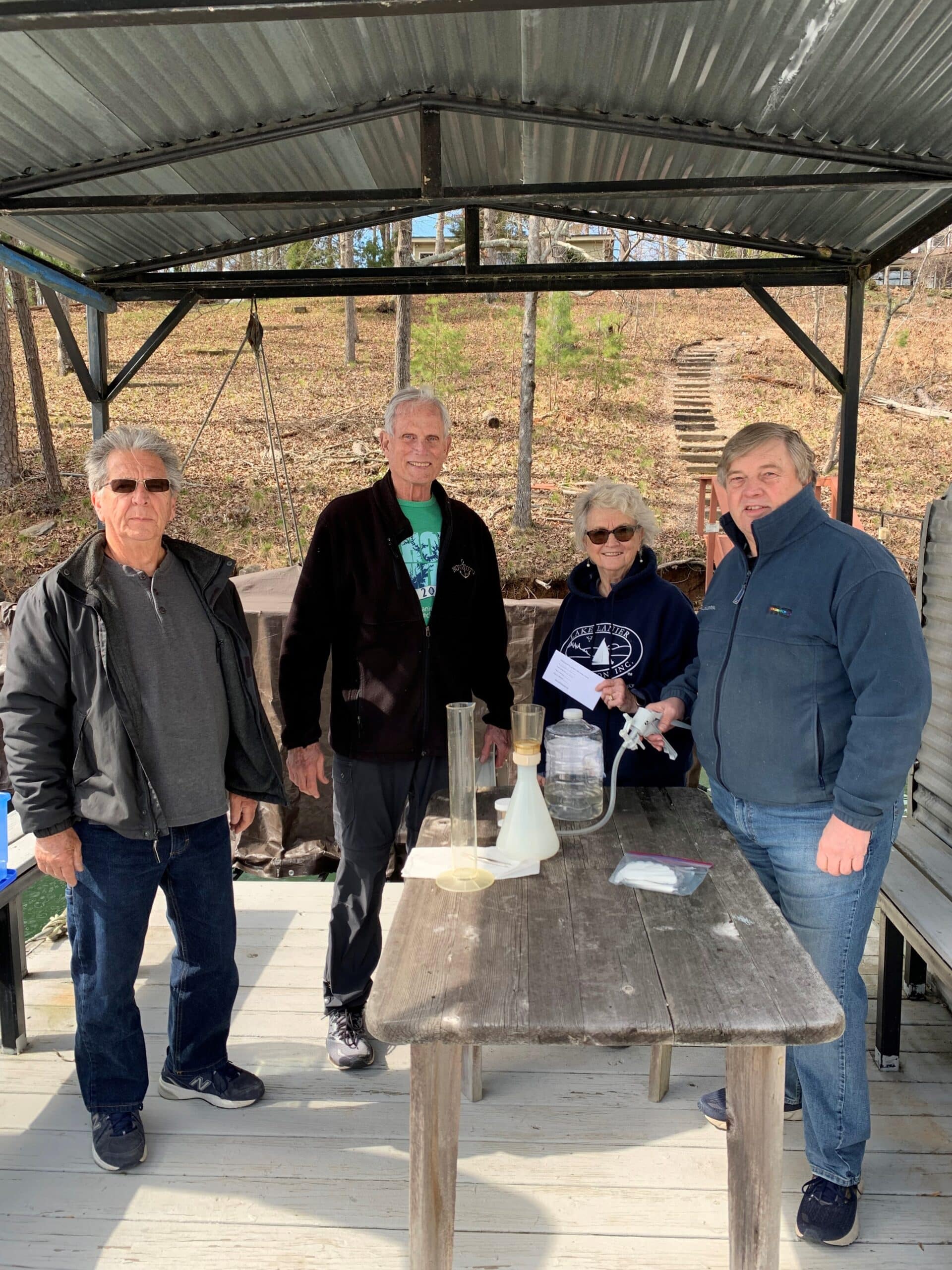
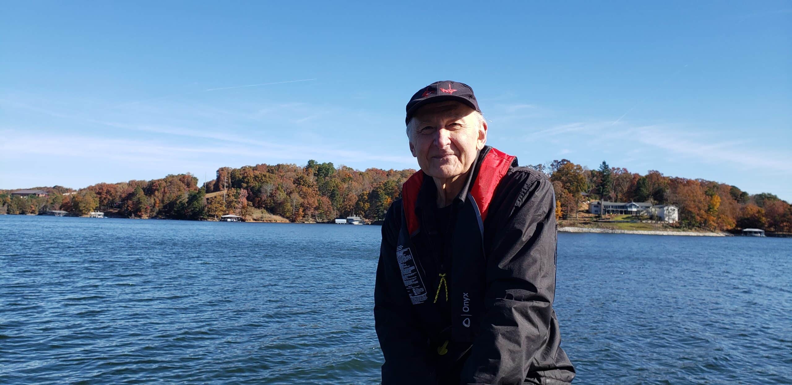
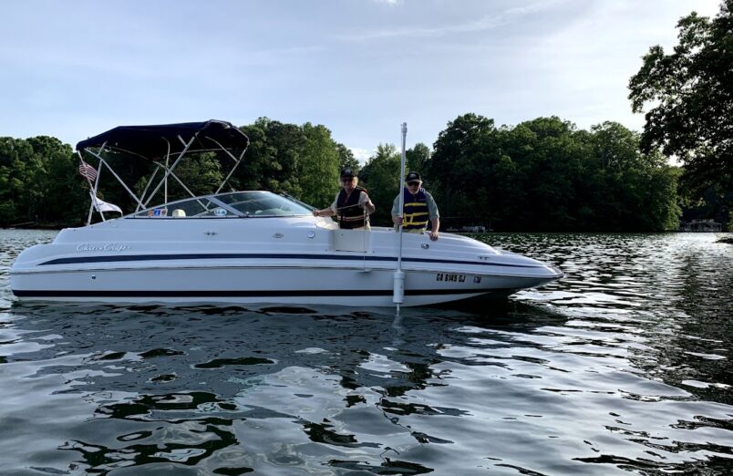
LLA is fortunate to have amazing and dedicated volunteers that help collect the samples and test monthly. Some of our volunteers work multiple sites or have been volunteering with the program since its creation 22 years ago!
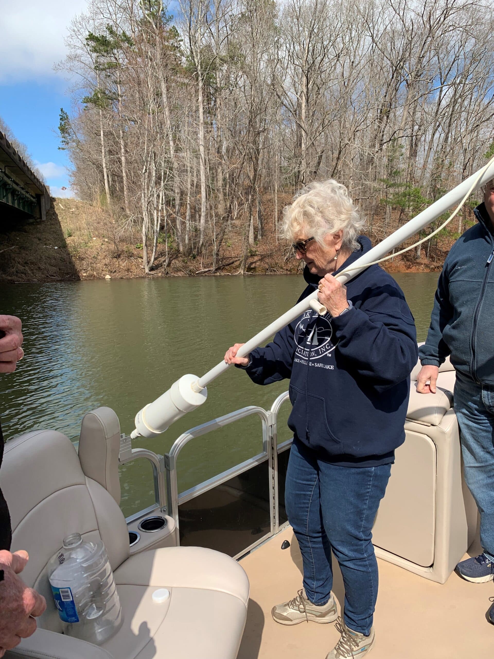
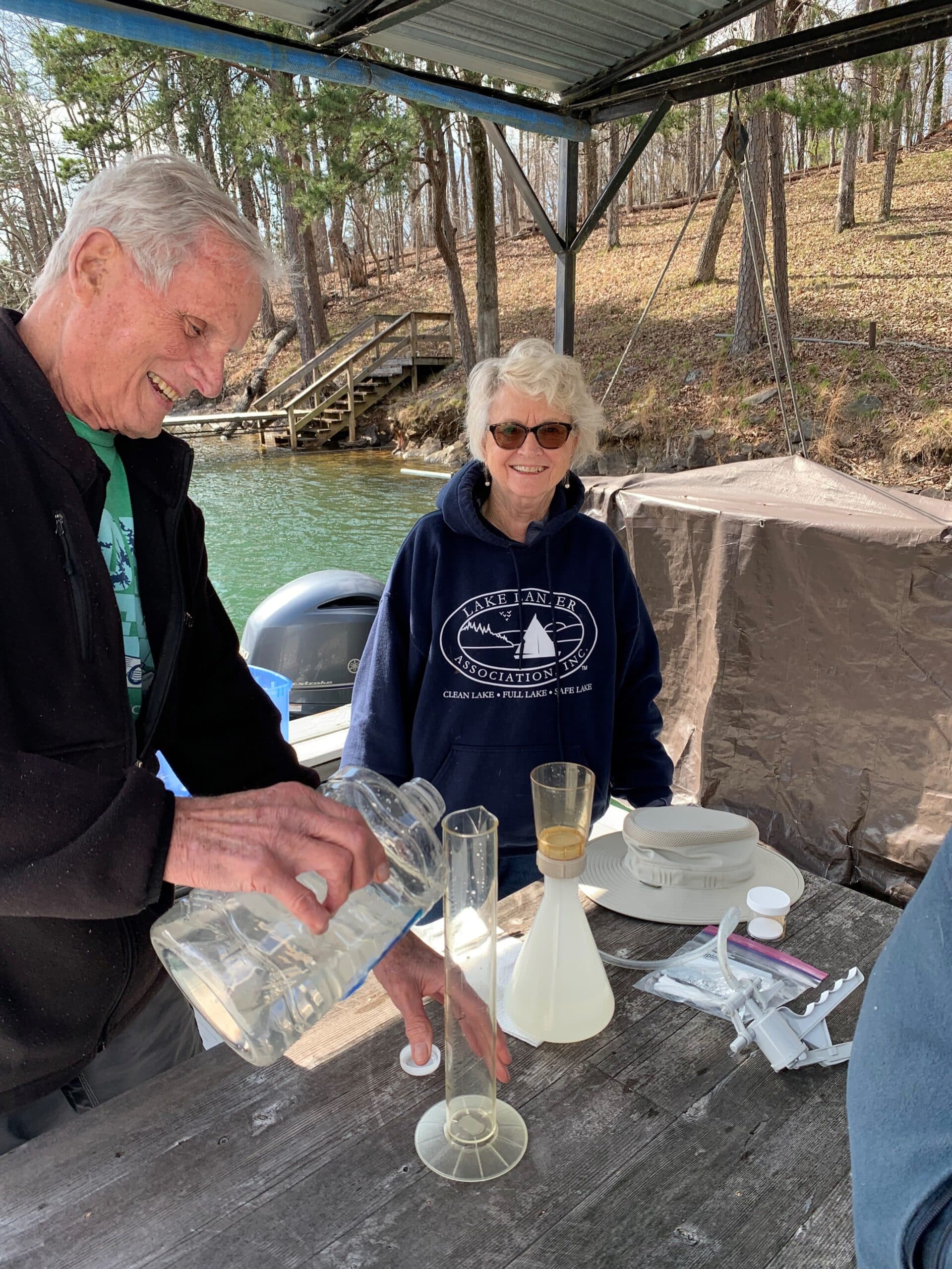
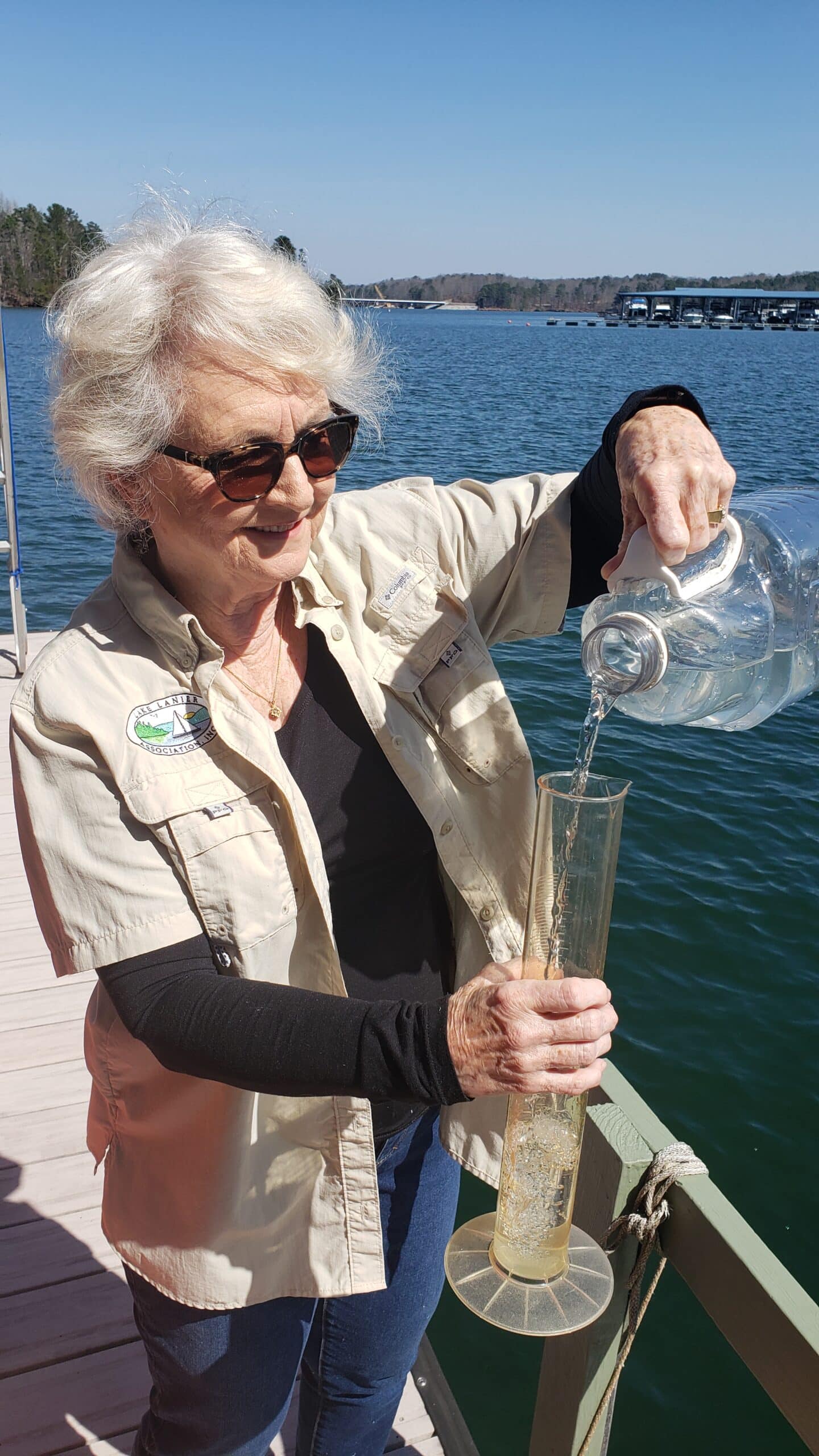
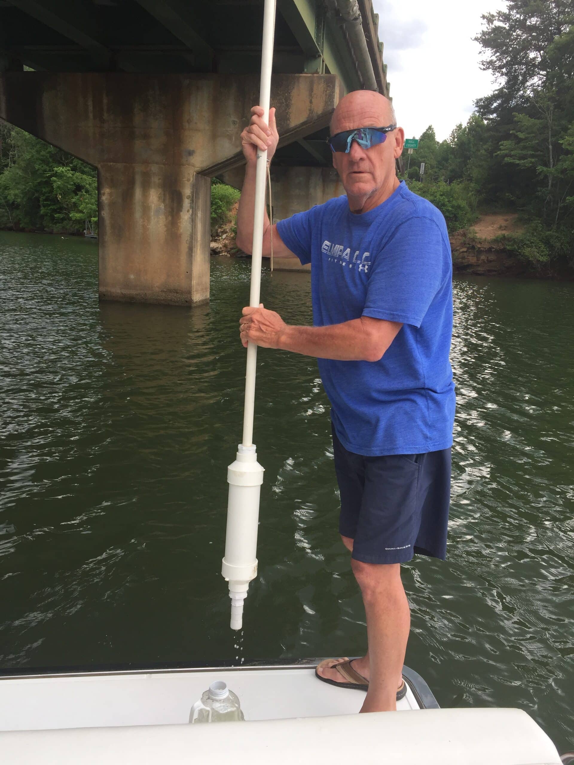
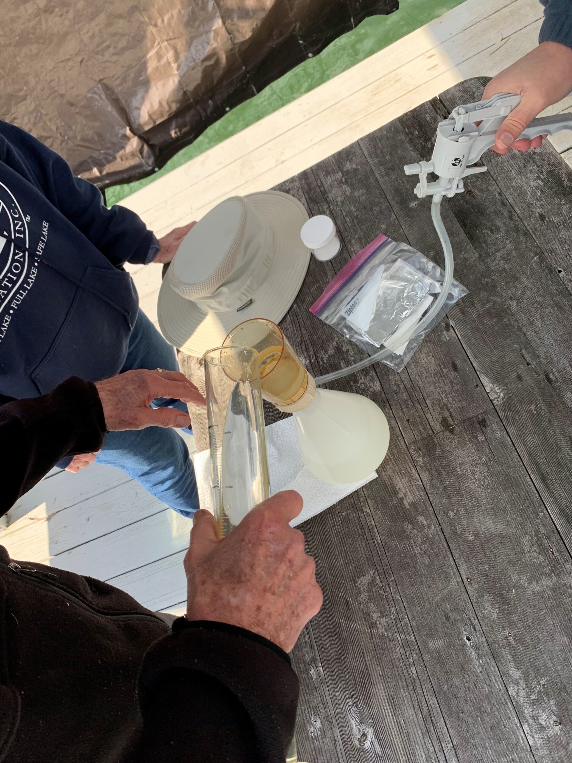
Each month volunteers go out to their designated testing site, before gathering a sample they note weather and water conditions. This includes testing the water temperature and noting water clarity using a Secchi disk. All observations and information is recorded on a data sheet.
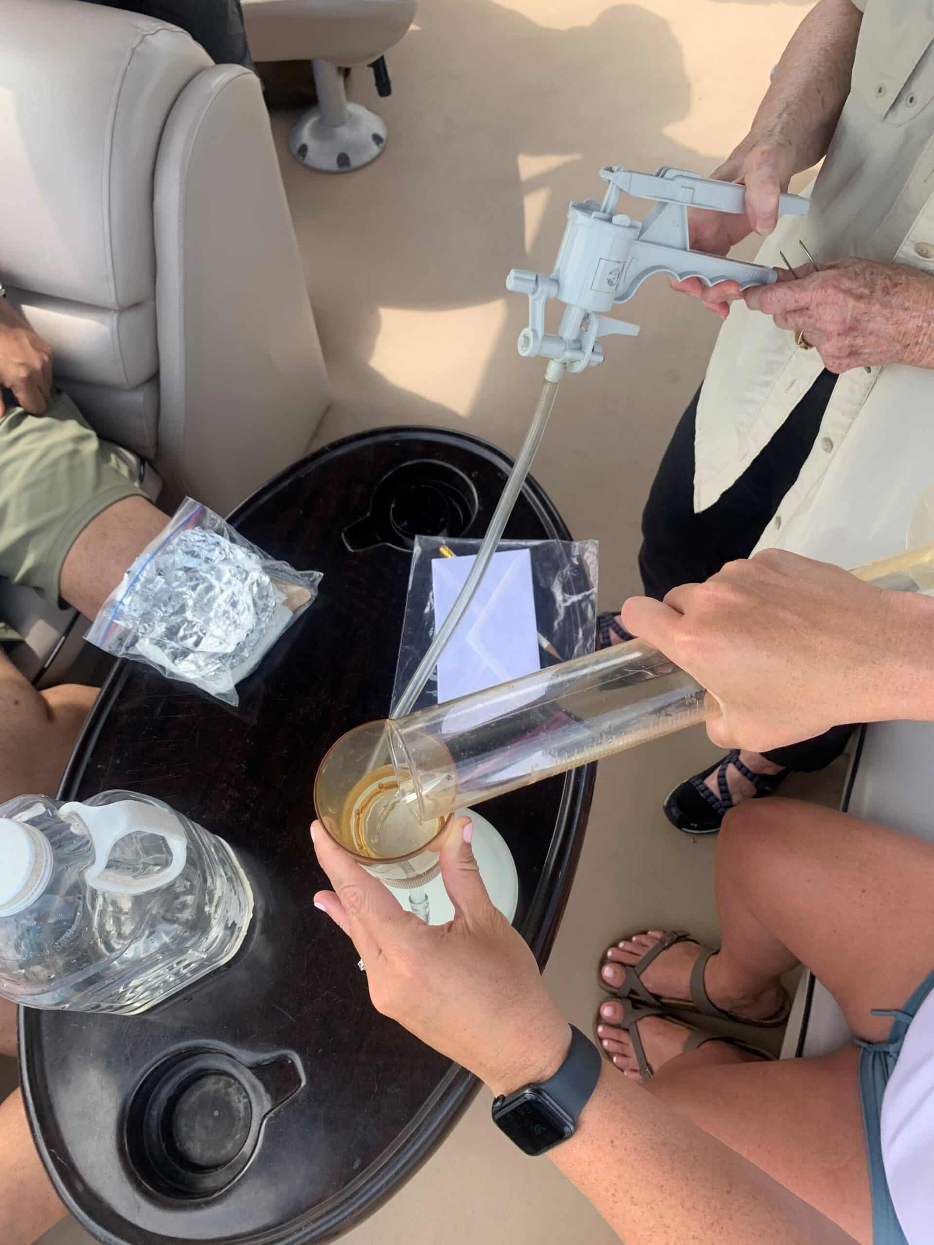
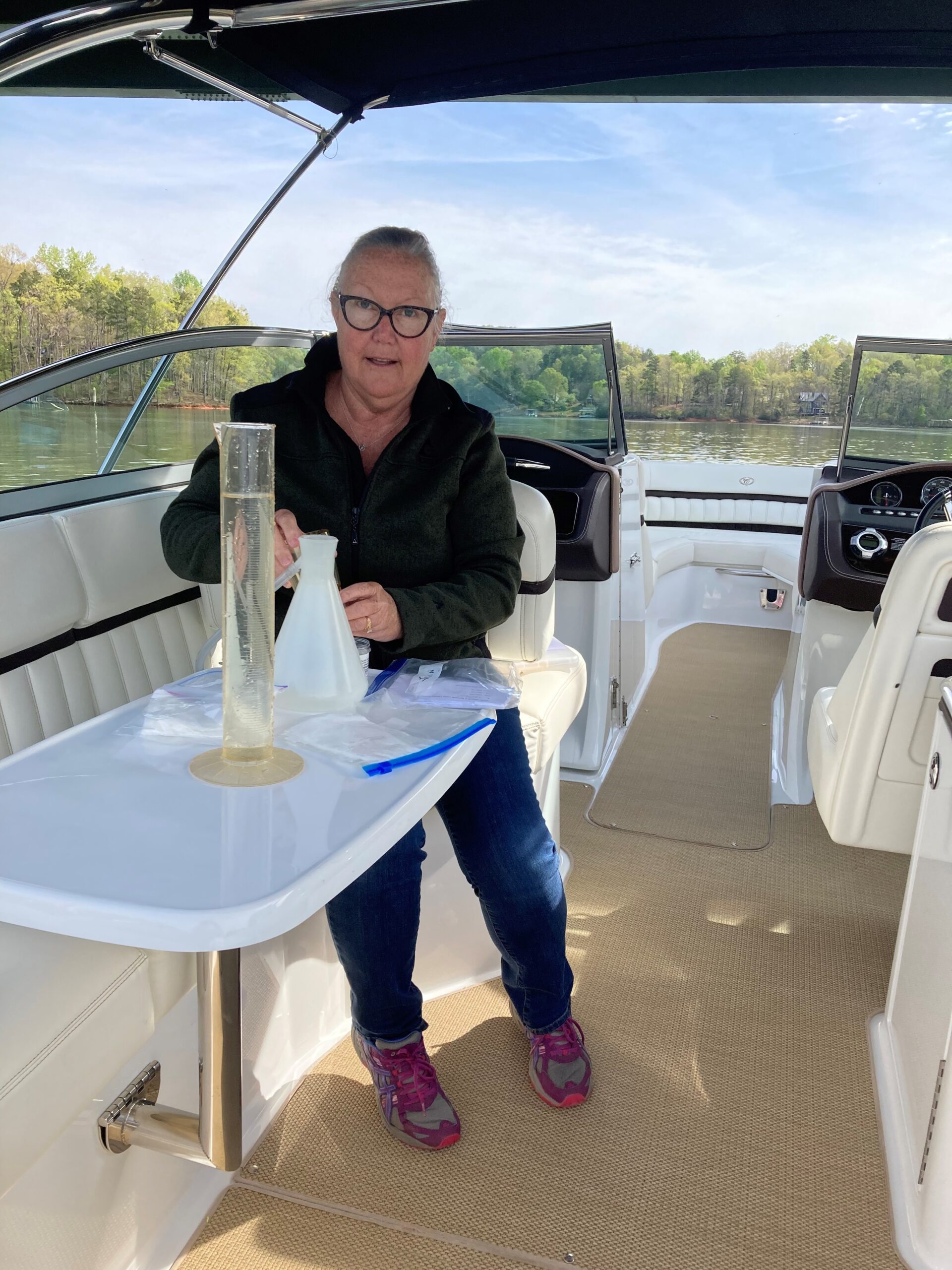
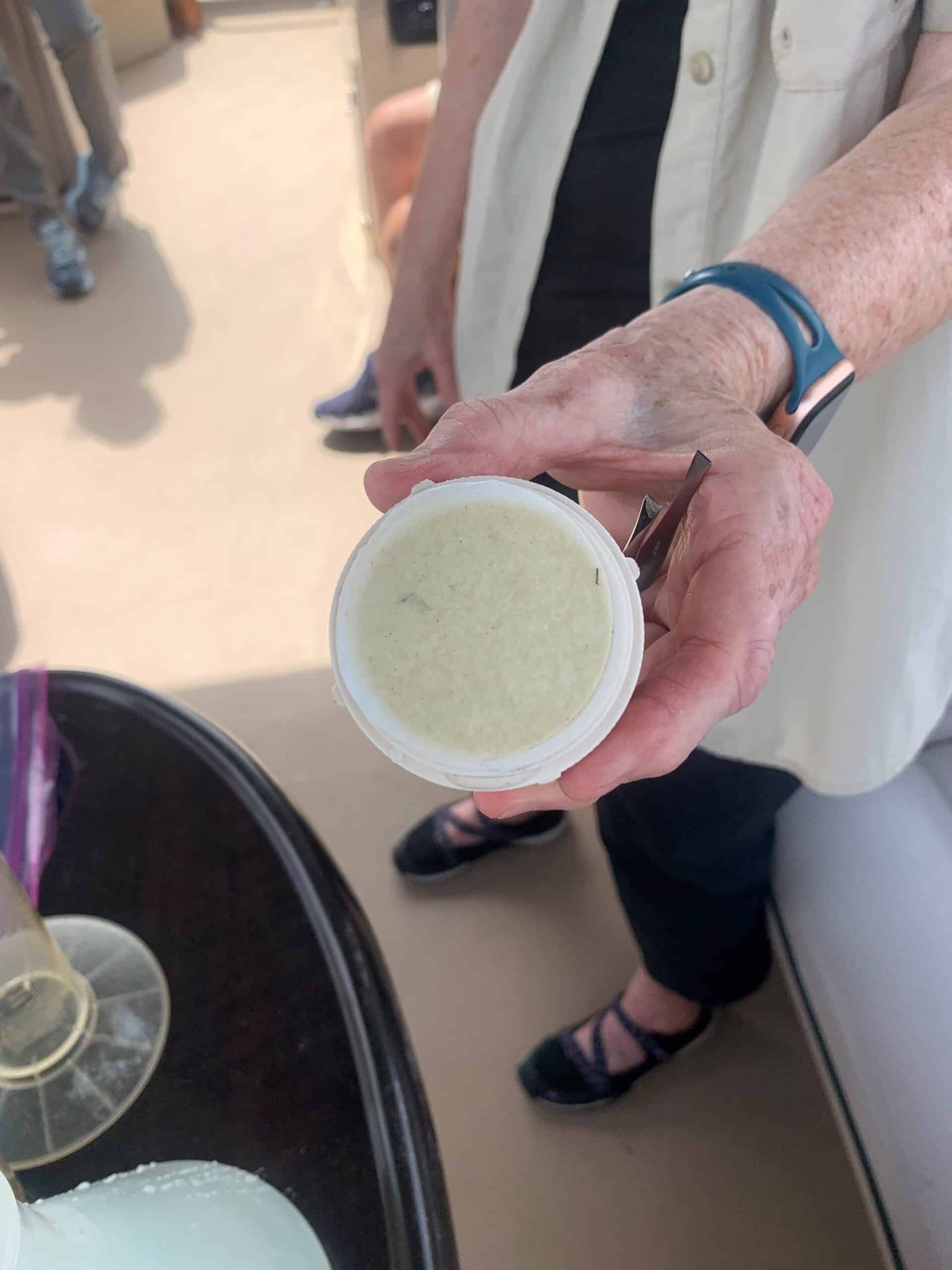
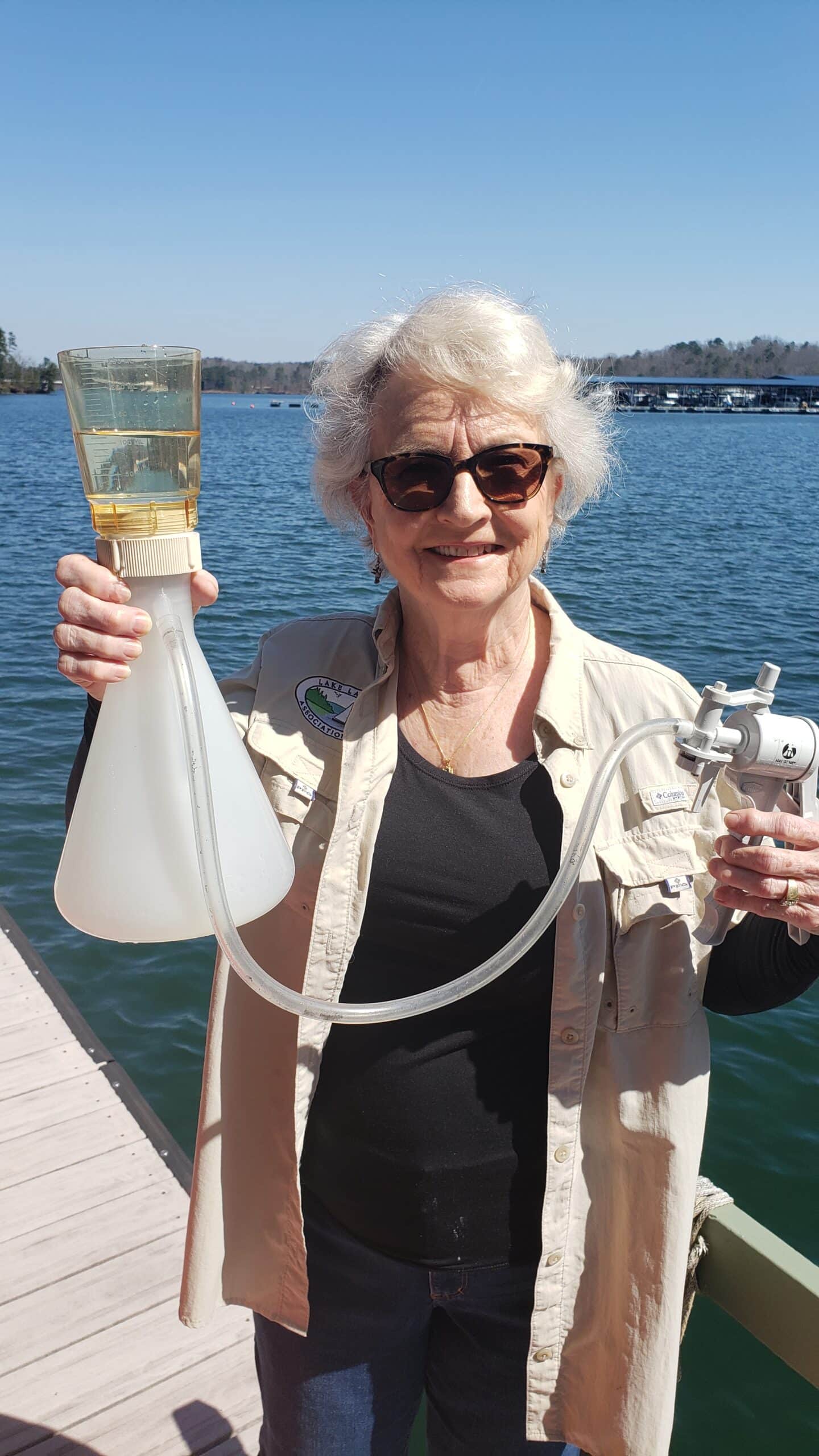
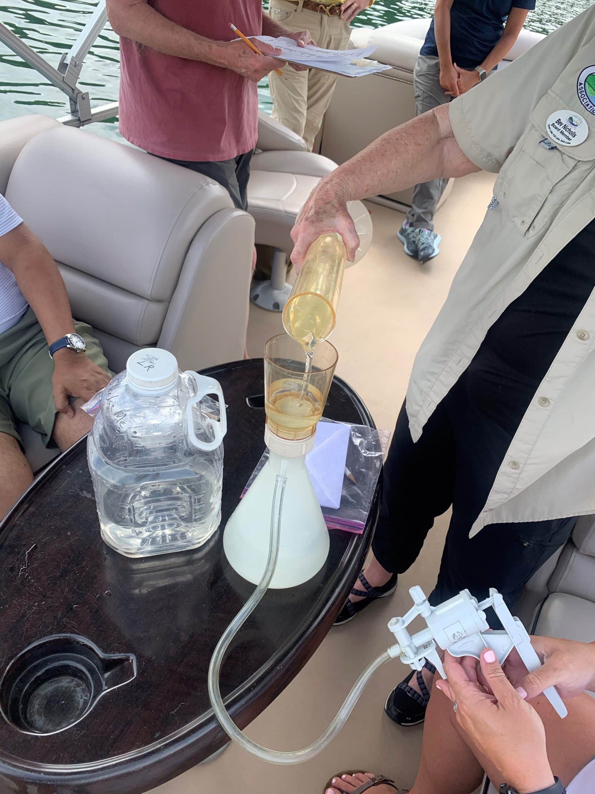
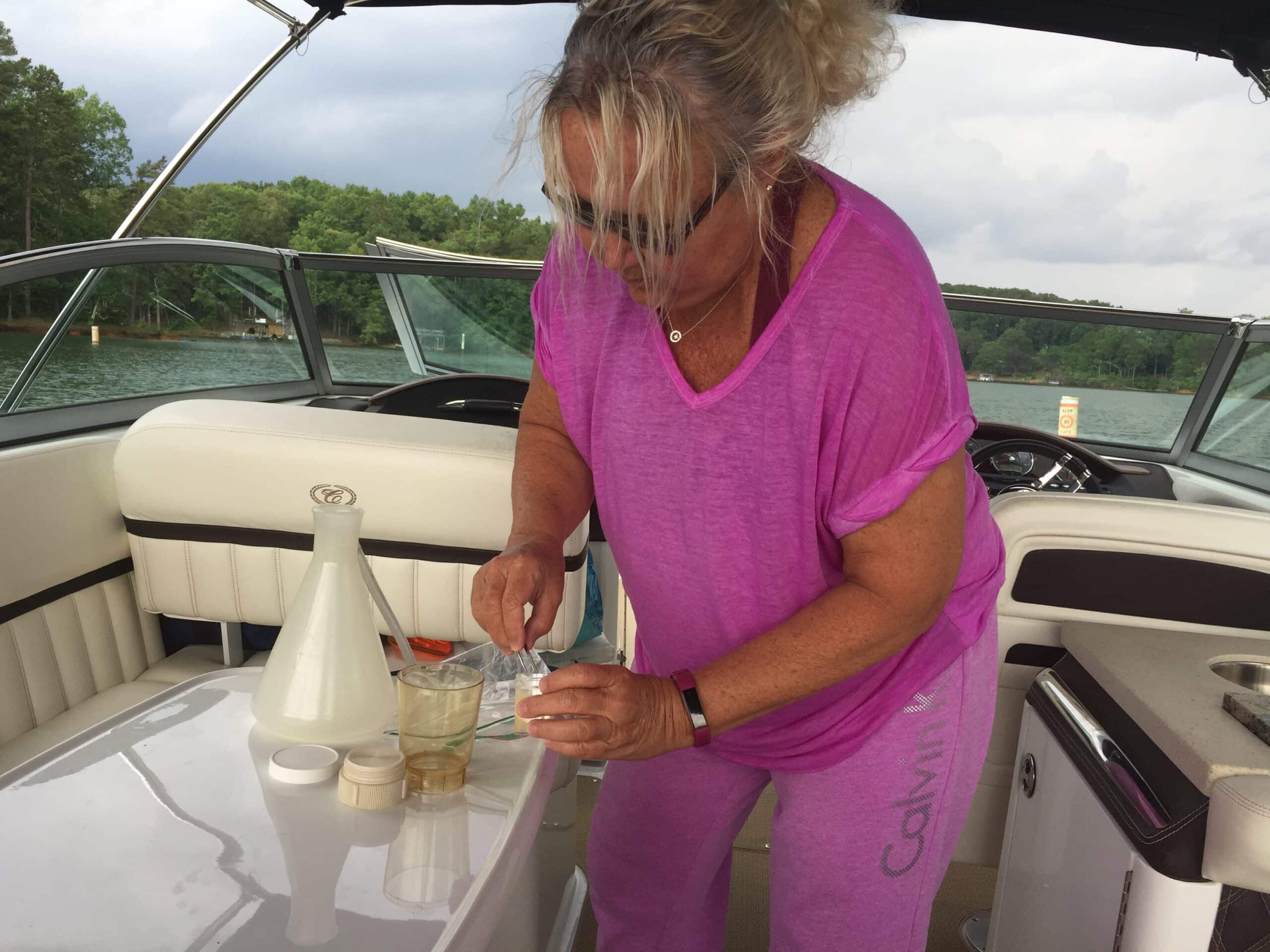
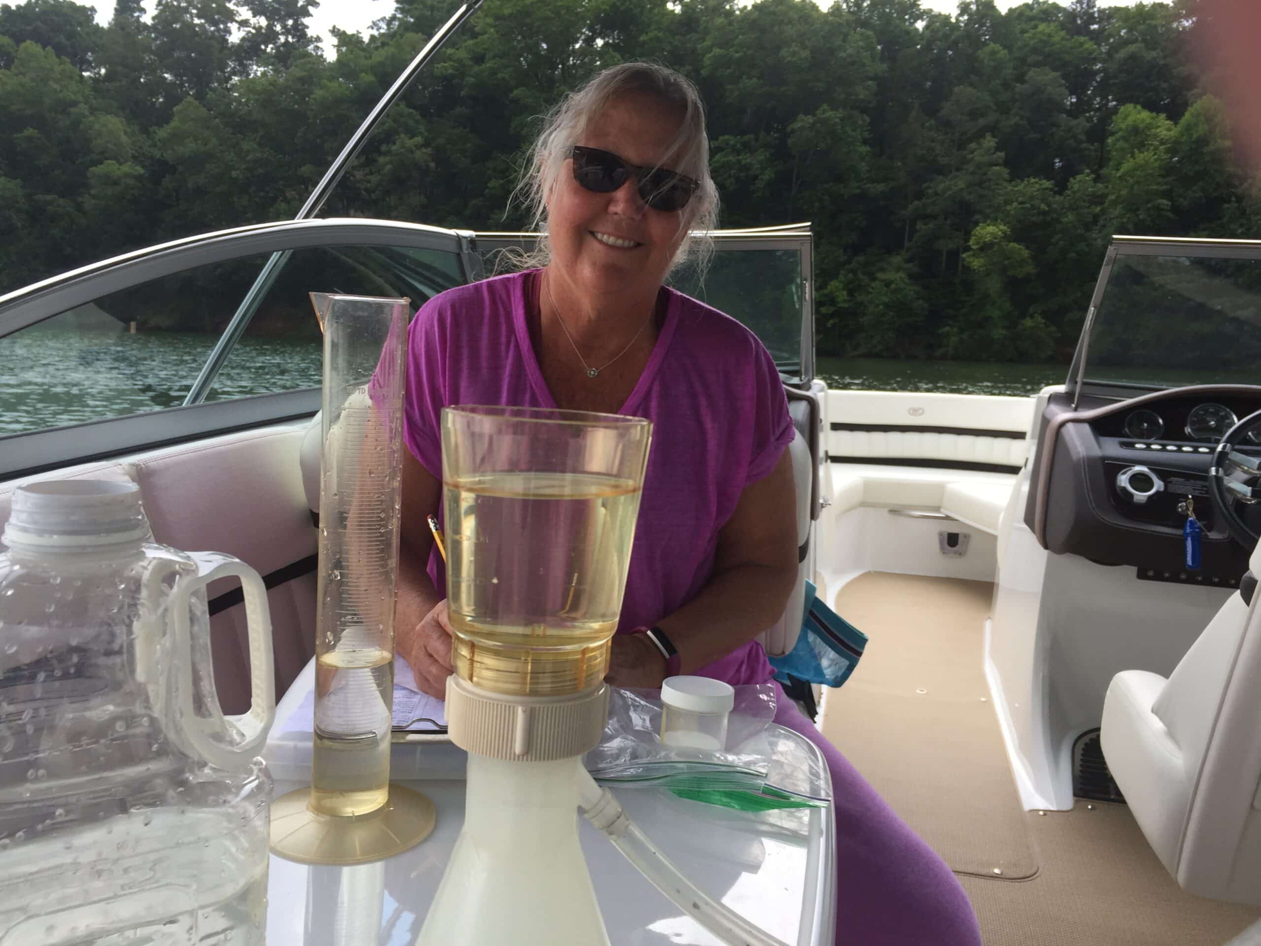
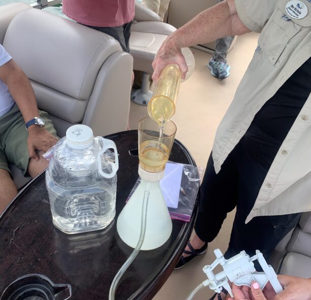
Then, the volunteers collect a sample of water using provided instruments. The sample is carefully filtered. Once this step is completed, the small chlorophyll laden filter paper needs to be handled with much care. Volunteers will place the filter paper in foil – so that light does not tamper the result and kept frozen until it is taken to the lab for further analysis.
In partnership with the Gwinnett Water Laboratory, the collected water samples are analyzed each month. The results are stored in a database and produce a chart LLA has dubbed the “Lake Lanier Index.” The index does not indicate water safety, only the level of algae in the lake. These results are shared with interested parties to help understand the conditions of the water, trends and assist in decisions related to lake cleanliness. By the end of 2024, we will have completed over 2,900 tests since our partnership with Gwinnett Water Laboratory in 2013!
Water Clarity
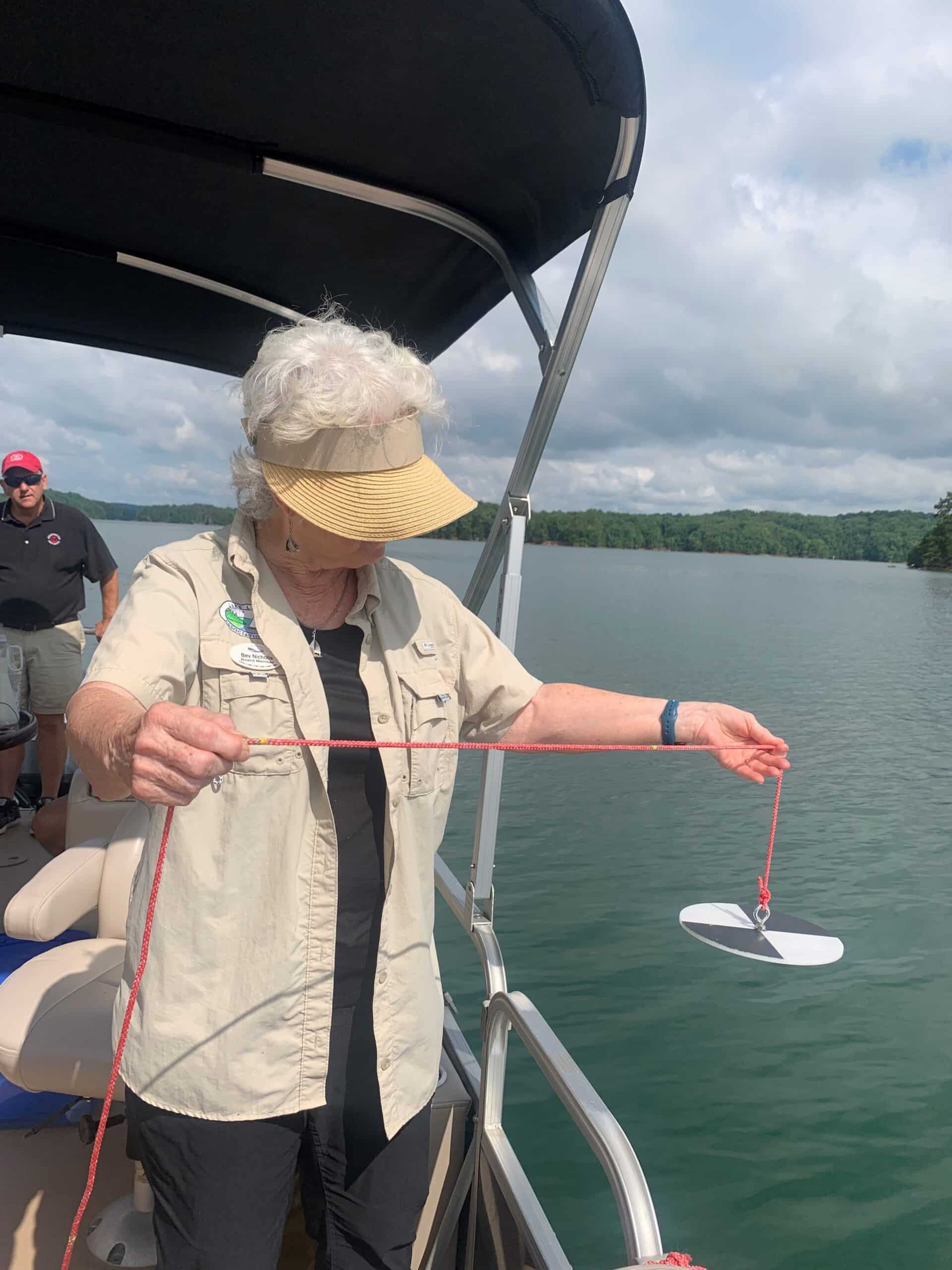
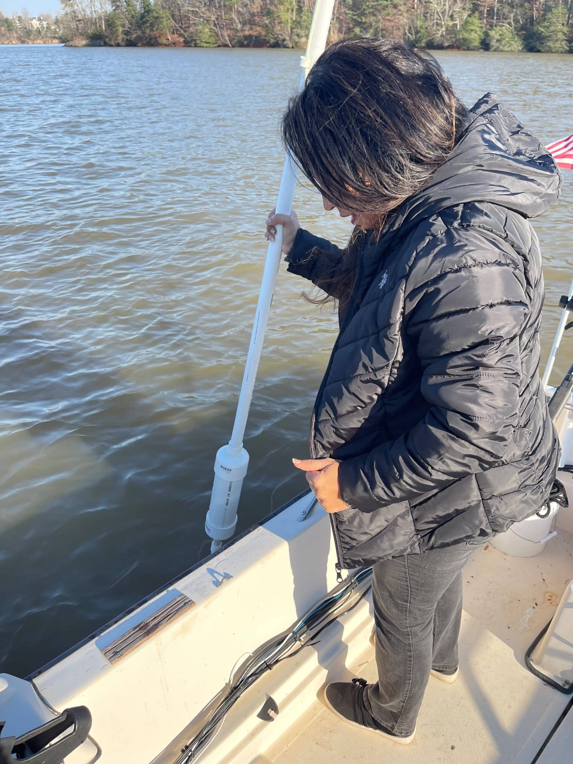
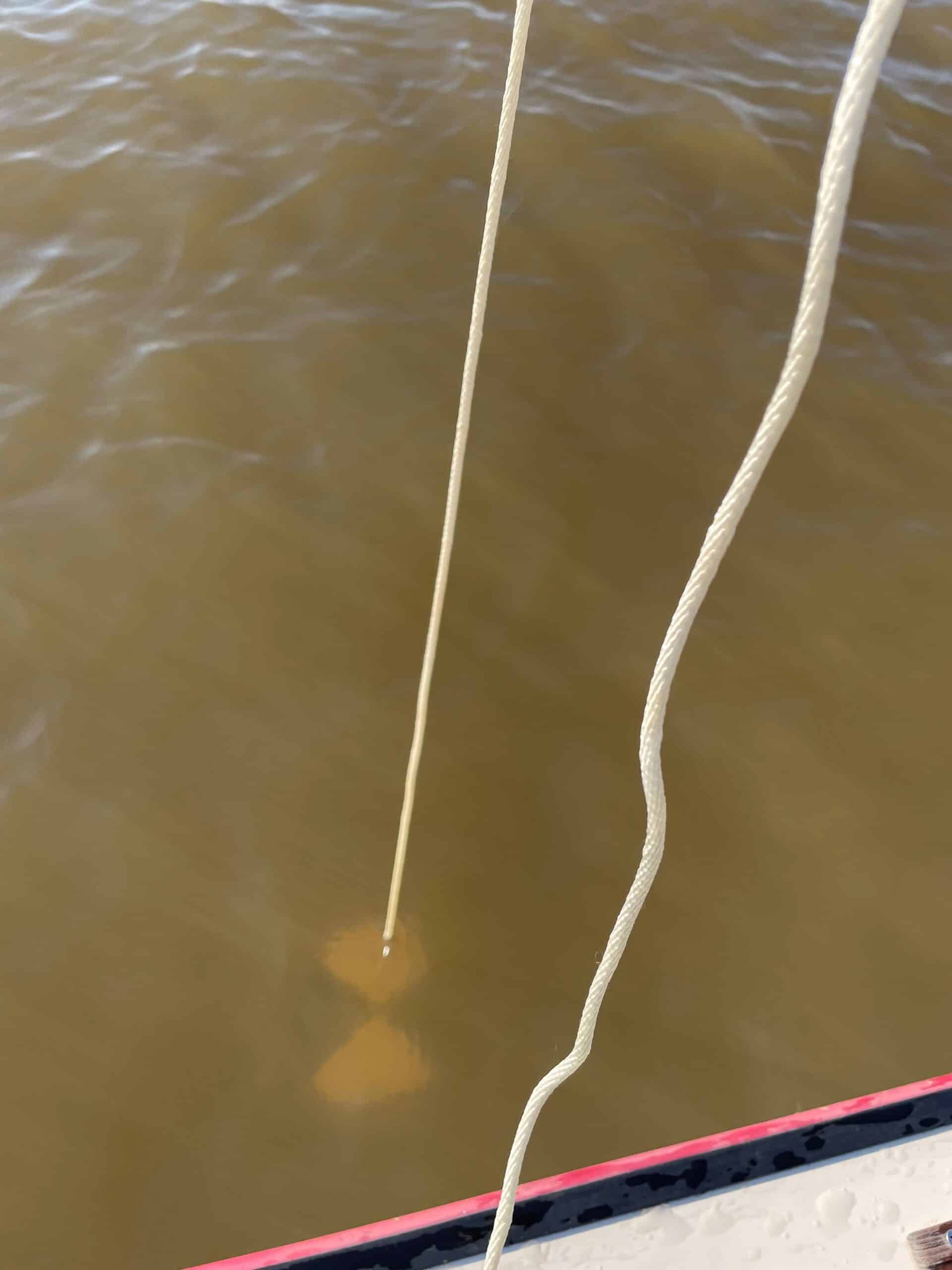
Volunteers take Secchi readings by lowering a weighted disk into the water and measuring the maximum depth at which it can be seen, thus giving a gauge of clarity.
Temperature
Volunteers take temperature of air, as well as lake water at various depths.
Algae Accumulation
Volunteers fill water jugs and send them out to Gwinnett Water Lab for algae testing that defines the Lake Lanier Index. . This Index is a measure of Chlorophyll a (which determines nutrients levels) and clarity, NOT water safety.
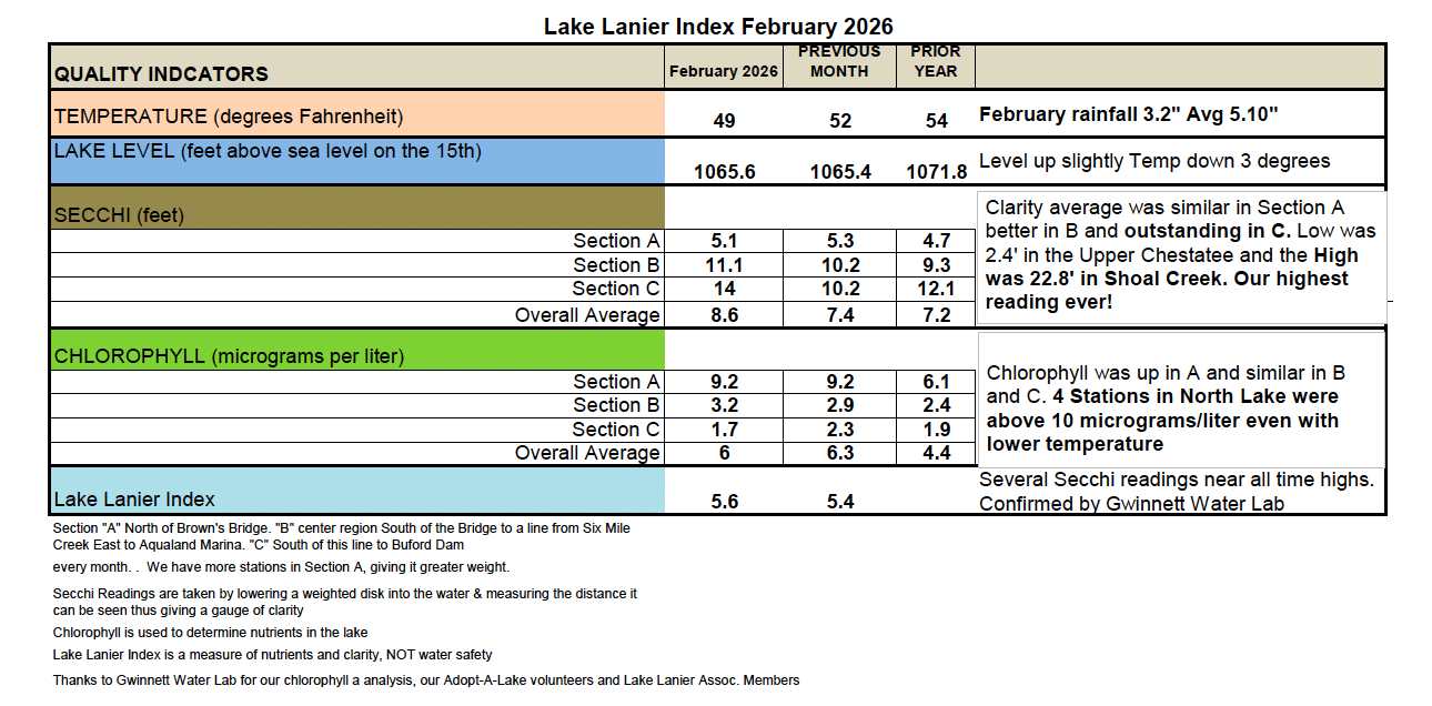
Section A = North of Brown’s Bridge
Section B = center region South of the Bridge to a line from Six Mile Creek East to Aqualand Marina
Section C = South of this line to Buford Dam
Adopt-a-Lake By The Numbers
LLA currently has 24 volunteers that assist with the Adopt-a-Lake program. They test monthly from 25 different locations around Lake Lanier – including 5 bridges, 4 docks and 16 bays or coves.
Testing Sites