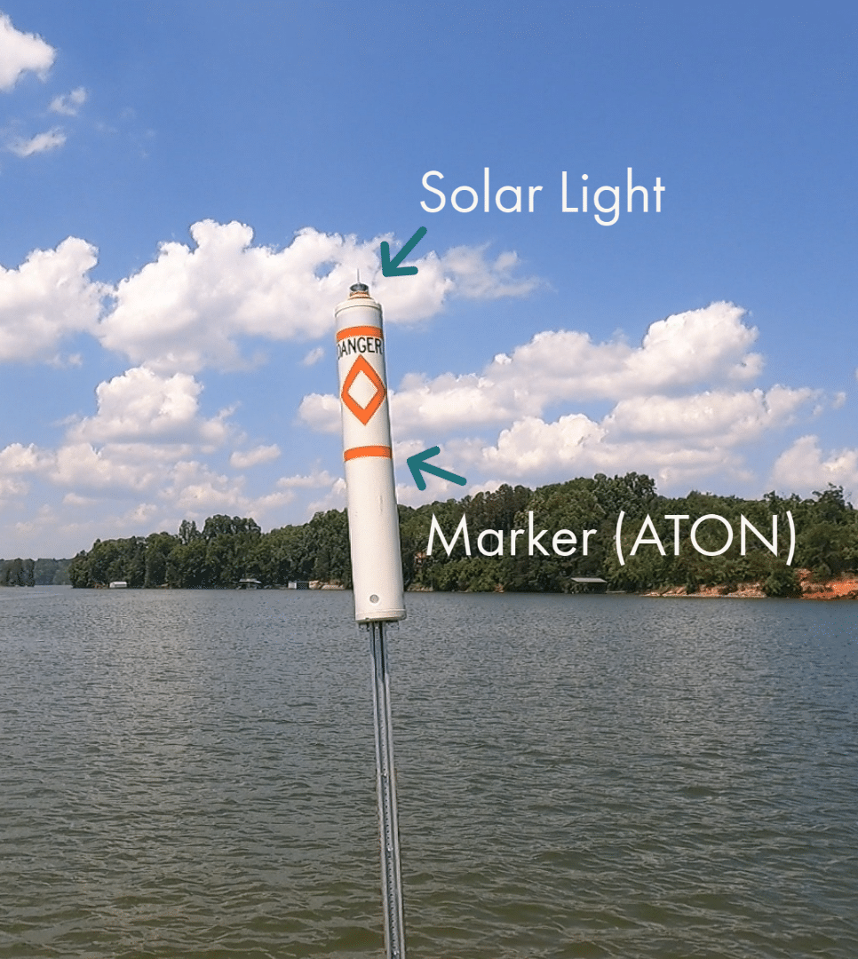
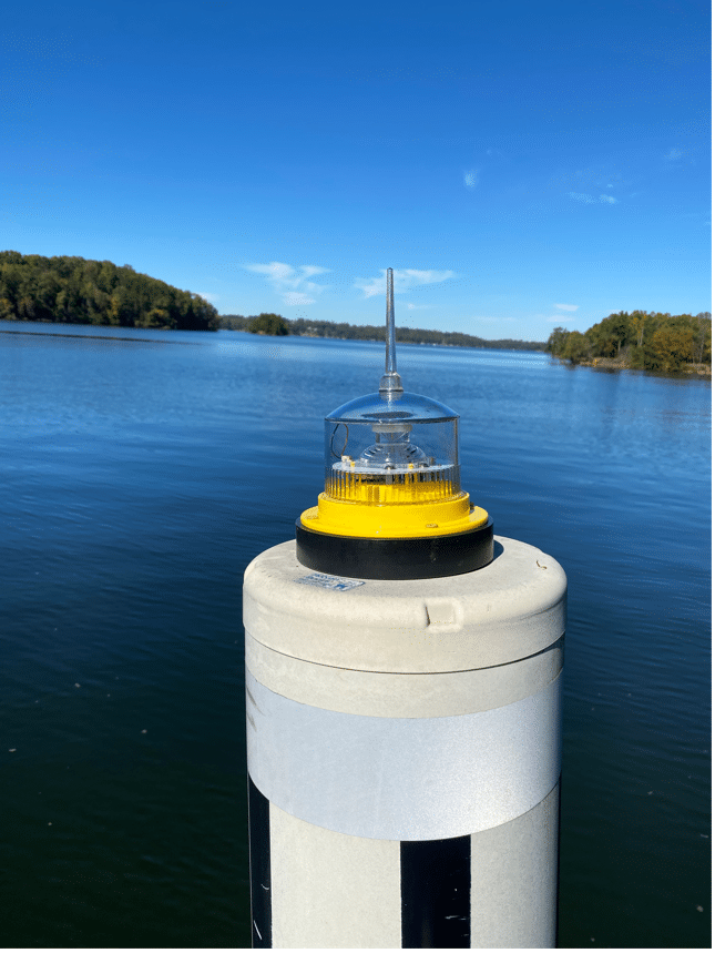
Solar Lights
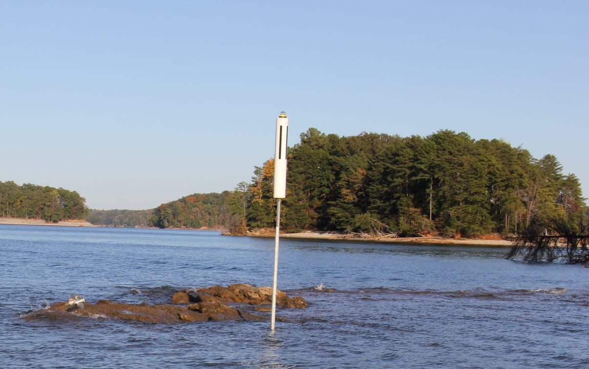
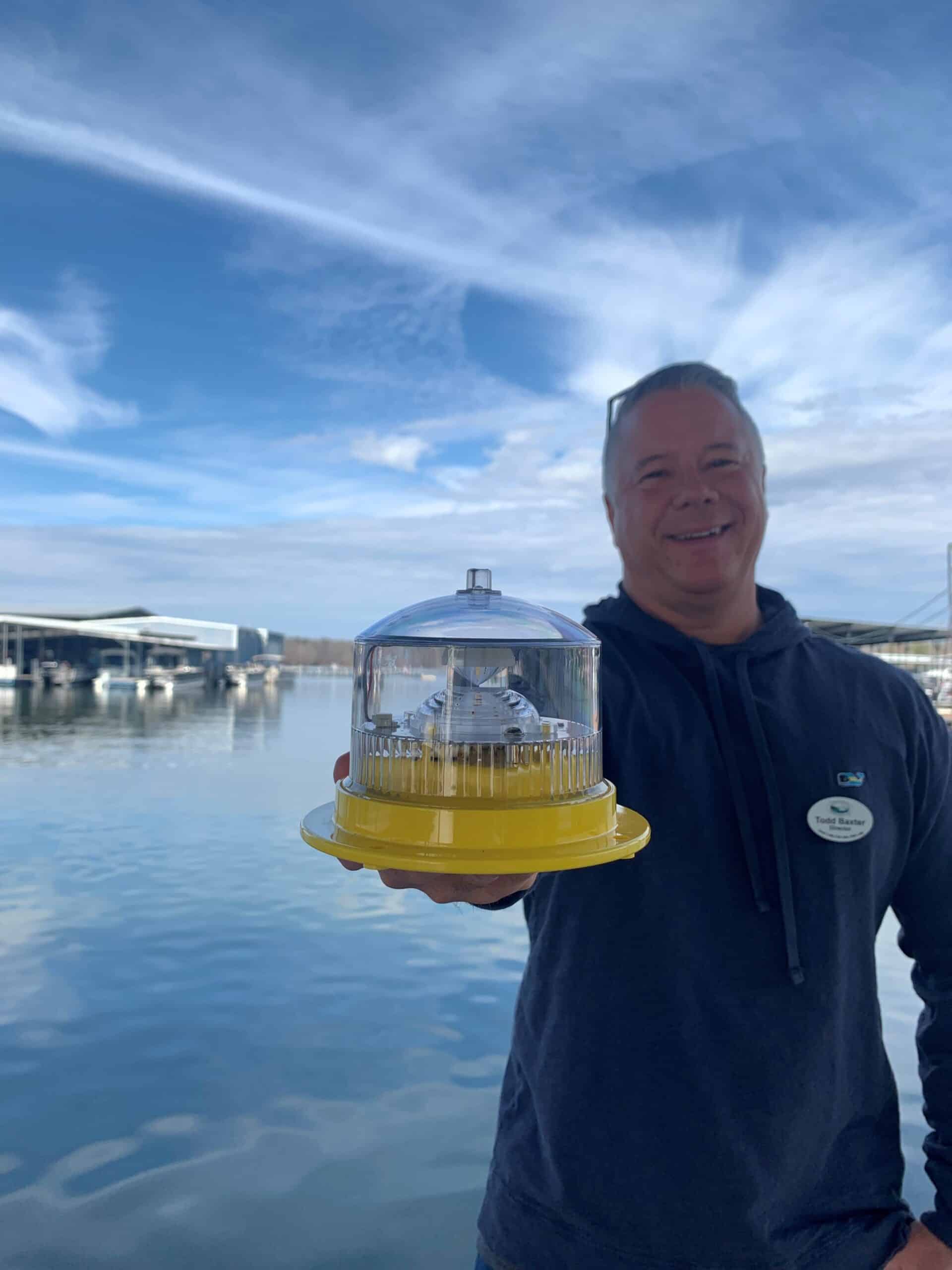
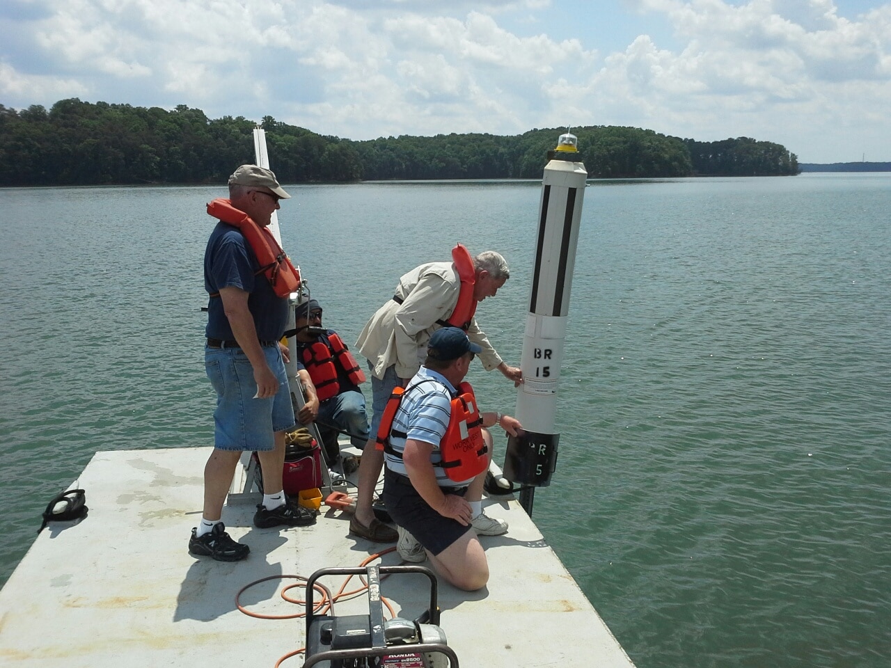
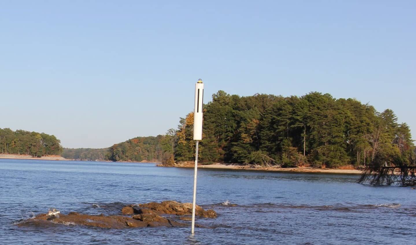
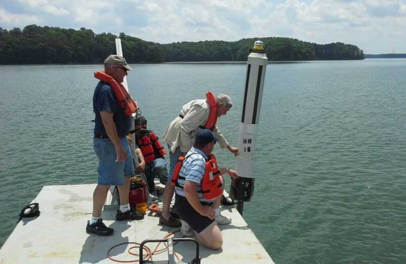
Lake Lanier covers 38,450 acres and has over 690 miles of shoreline. In many places where water meets the land, there are hazards just under the surface and the hazardous area markers can be difficult to see after dark. After member feedback indicated they would like boating at night to be safer, LLA initiated a project to install solar lights on the tops of selected hazard markers – that was back in 2013! Ever since, the LLA has been committed to regular service and maintenance of the solar lights to ensure safer night-time navigation. The program is supported through membership dues, individual donations and support from counties surrounding the lake. There are currently 300 lighted markers on Lake Lanier that LLA maintains and monitors.
Solar Light Program Update, from the Summer Wrap Up '25 Newsletter
This summer, through a partnership with the Lake Lanier Islands Development Authority, we are now monitoring, and replacing as needed, another 10 solar lights in the southern portion of the lake. In addition, we are in talks to expand another 5 lights in the mid lake area. This would bring our total to 304 lights on the lake enabling safer night time navigation.
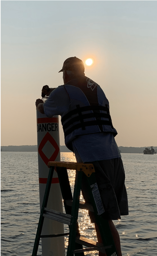
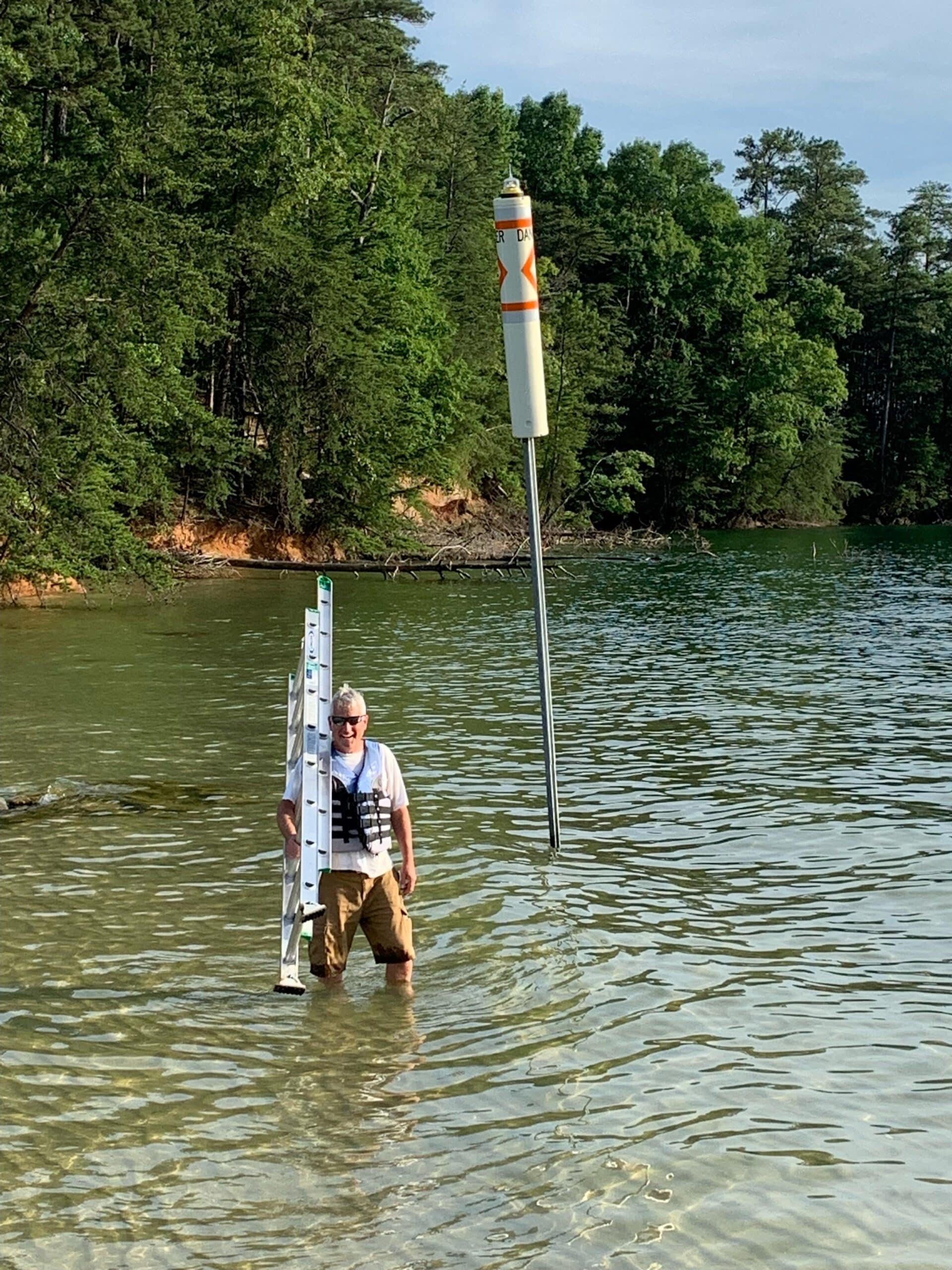
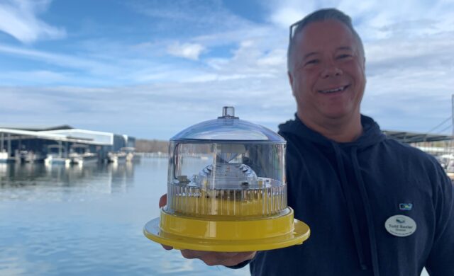
We have partnered with the Corps and our contractor (LS3) to ensure as many lights as possible have been fully functioning over the summer months. We have delivered refurbished lights to the Corps for installation when they replace a down marker, and have delivered new lights (with 3 year warranties) to LS3 for installation to replace lights deemed to be out when the annual inspection was conducted in May.
To see the locations of the lighted markers, view the Lake Lanier online Navigation Map
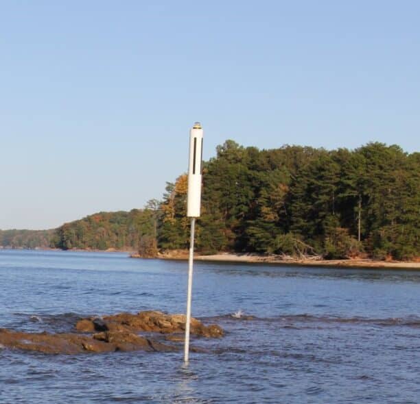
While standard navigation signs mark hazardous areas, boaters should be watchful for submerged stumps, logs, rock and shallow water.
If you see a solar light not operating or a hazard marker is down, you can report it to LLA on lakelanier.org in our Report a Problem section.
Solar Light ~ Blog Posts
The Corps Remains Committed to Hazard Marker Replacements by Memorial Day
Update on LLA Solar Light and Hazard Marker Replacements By Todd Baxter, Board of Director As boating season draws near, the Lake Lanier Association is preparing the solar lights […] Read More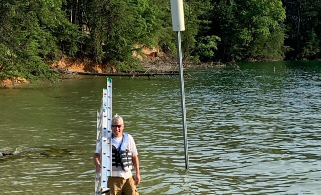
Lighting Up Lanier with Solar Lights – End of Season Program Update
Program Update by Todd Baxter LLA President Article extracted from the Wrap-Up to Summer 2022 Newsletter I’m pleased to report we had our best season in terms of light functionality since […] Read More
Solar Lights Installated on Hazard Markers Pilot Program Kickoff!
As of today, the first 20 solar powered lights have been installed on existing hazard markers on Lake Lanier which kicks off the pilot program for this initiative. The below […] Read More