Shore Sweep 2016! Advance Drop locations NOW OPEN!
Shore Sweep 2016 is coming up on Saturday, September 24th, 2016! The advance drop off locations are NOW OPEN!
For the actual day of the event Saturday 9/24, we have twelve different participating locations that you can choose to report to volunteer — Bald Ridge, Aqualand, Gainesville, and Port Royale Marinas, Lake Lanier Islands, Balus Creek and Big Creek Boat Ramps, Lake Lanier Olympic Venue, Don Carter, Gwinnett, Longwood, and War Hill Parks. The sites open at 8:00AM and will stay open until 1:00PM. We need volunteers by land as well as by water. For our by water volunteers, power boats, jet skis, pontoons, kayaks and canoes all have a place at this event.
 In addition to the day of the event participating locations, we also have eight advance drop off locations around the lake. The advance locations are open now and will stay open through Friday evening, 9/23. You can go ahead and bring bagged trash or large items and leave them at one of these locations. We have volunteers with boats scheduled to pick up at all these locations on Saturday morning for removal. Especially if you are not available to help with Shore Sweep on 9/24, bringing items to the advance locations during the week is a great way to contribute to this event even if your schedule won’t allow you to be there on Saturday.
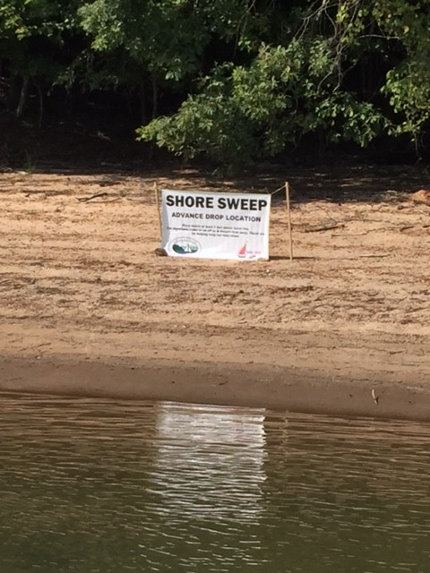
For the advance locations, THEY ONLY ACCEPT TRASH WHILE THE SHORE SWEEP SIGNS ARE IN PLACE. Please DO NOT bring trash to these locations other times of the year. Below is the list of advance locations. If you bring trash to any of these locations, please look for the signs posted and leave the debris close to the signs.
The lake map coordinates are from the Atlantic Mapping Recreation and Fishing Guide for Lake Lanier.
- Map coordinate J-7, closest buoy marker 1SM, old beach at Shady Grove Park
- Map coordinate H-7, closest buoy marker 4YD, Beaver Ruin Road shoreline area
- Map coordinate L-3, closest buoy marker 2SC, Gwinnett Park
- Map coordinate N-9, closest buoy marker 14, Gaines Ferry Islands
- Map coordinate L-18, closest buoy marker 33, Keith’s Bridge Island
- Map coordinate M-24, closest buoy marker 49, Old Dawsonville Highway road bed near DNR regional office and Martin Docks
- Map coordinate M-28, closest buoy marker 2WC, unnamed island
- Map coordinate D-21, closest buoy marker 21C, Nix Island